Fell top Weather
Valley weather
Low Photo Trail Coniston Village
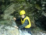
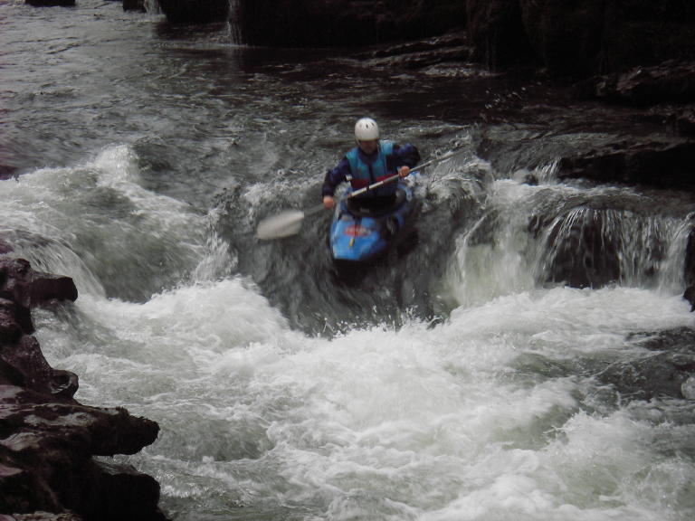
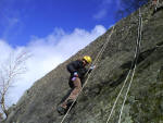
Abseiling Gorge Scrambling Canoeing Kayaking Kayak Touring Family Activities Rock Climbing Hill Walking
Archery Raft Building Skills Wild Cat Island Children's Adventure Orienteering Team Building Bush Craft
Brocklebank Ground, Torver, Coniston LA21 8BS. Mobile 07967380734
Email: info.@.jointadventures.co.uk
This Photo Trail is about 5km long and takes you on a circular route north east of Coniston village. You plan the route using a map and grid references. It Starts on the permitted bridleway just behind the Youth Hostel at Far End. Never very far from the road and on very clear paths, the trail ends at the lakeside Blue Bird Cafe. A suitable map is the OS Explorer OL7 South-eastern area. Click here for an elevation profile
Please Take Care. This is a low level walk , but as with any outdoor activity there are risks.
By making the decision to print off or do this Photo Trail you assume all risks involved. By using this trail you agree to our disclaimer. To view the disclaimer click the link.
To view a thumbnail, right click on thumbnail, and click on Open Link In New Window. You may then use the printer icon on the browser or image to print the photo. You may also copy and paste the image into a word document.